Internship Update - Status 1


How's it going?
Two weeks into the IS-302 internship course, our internship group at Kartverket has been introduced to our new workplace, taskset, and upcoming projects.
Brief overview of the upcoming internship period:
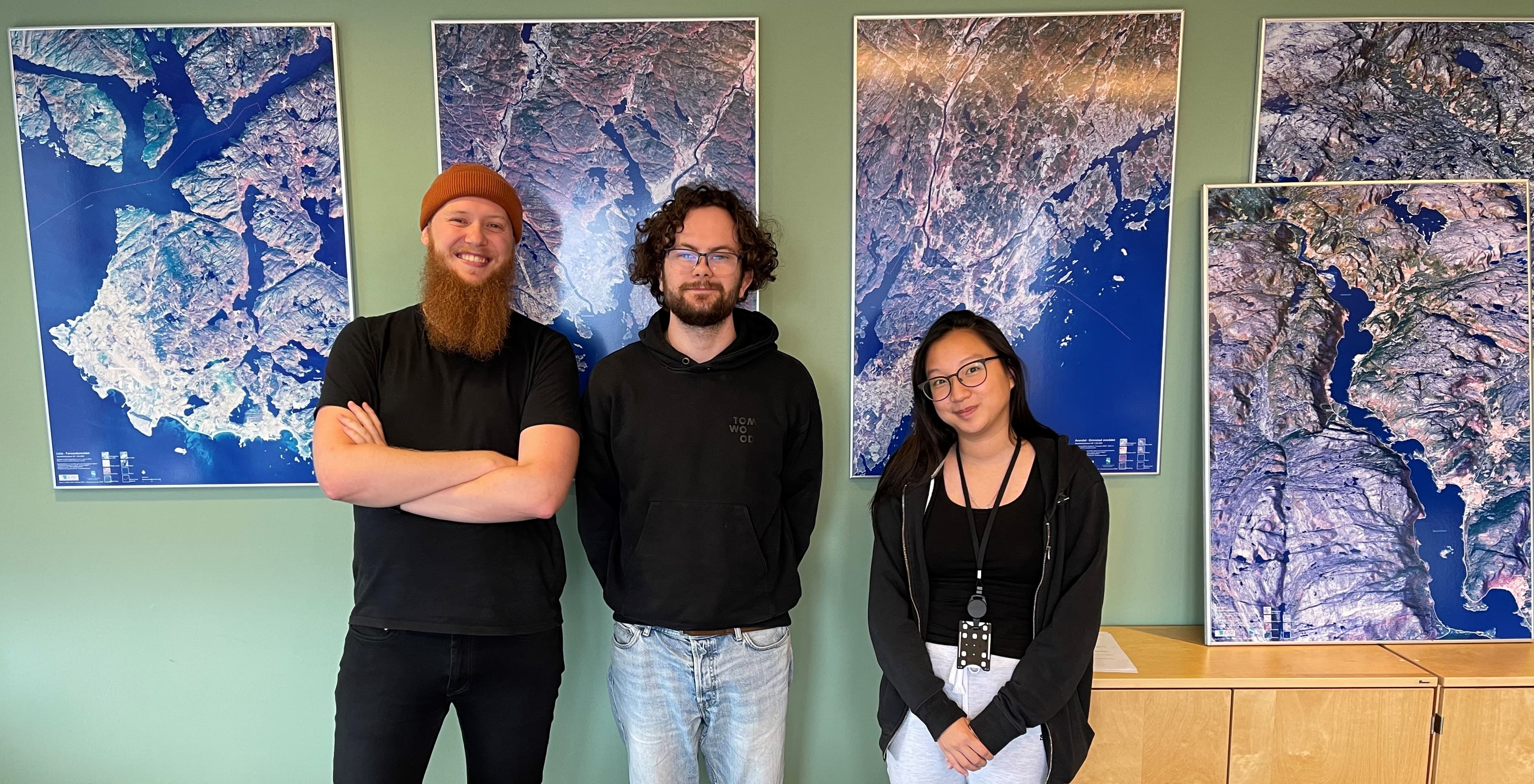
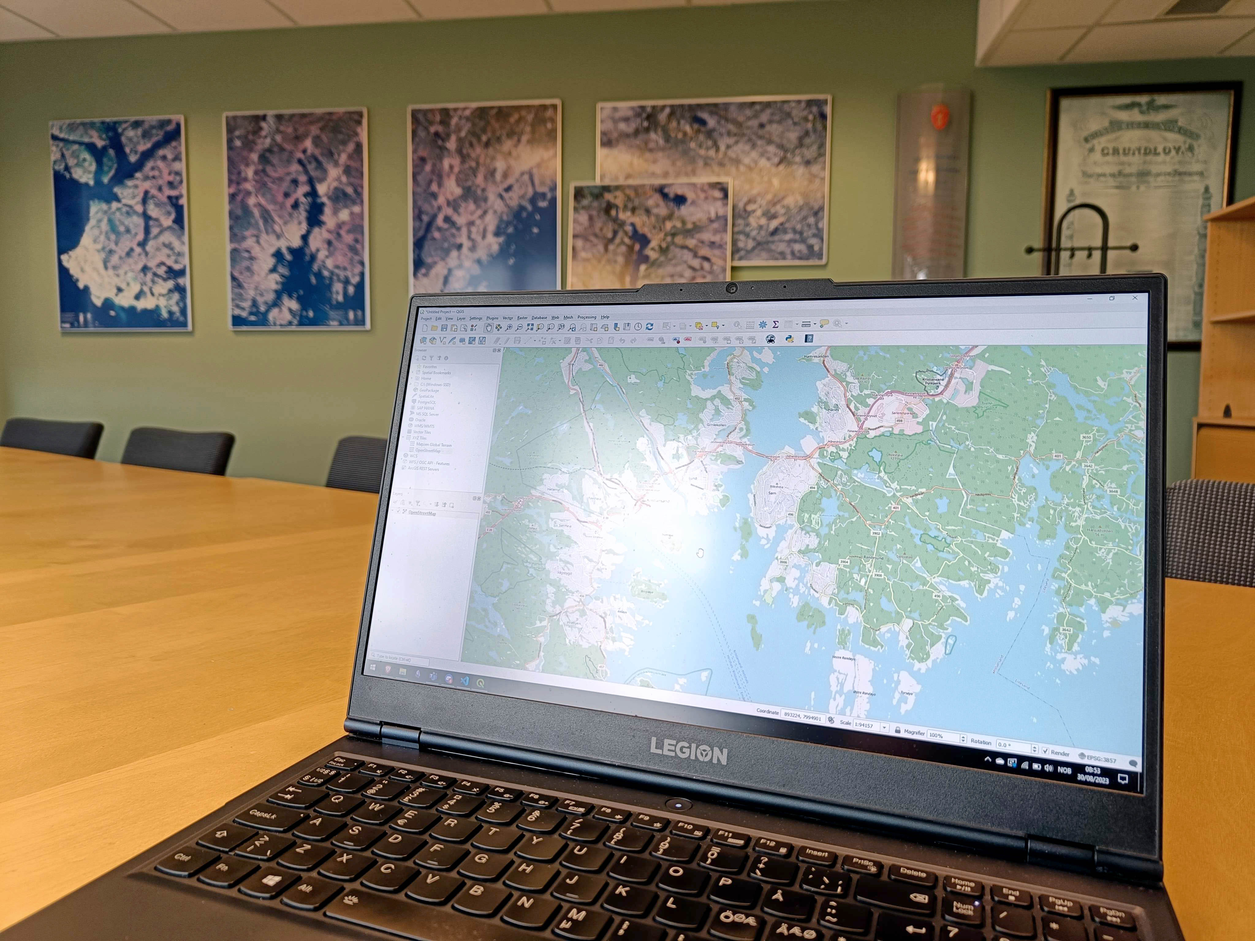
The internship group consists of Dung Katrine My Huynh, Eirik S. Bjørdal, and Ivar Michael Tangeraas from the IT and Information Systems program at the University of Agder. During the internship period, we will be stationed at the Norwegian Mapping Authority (Kartverket) in Kristiansand for two days a week. The main task during the internship period involves the further development of the KartAI v2.0 project, with additional focus on potential smaller tasksets and side projects which Kartverket is developing.
About Kartverket
Established in 1773, Kartverket is the oldest technical agency in Norway that is still in operation (250 years this year). Their tasks have evolved in line with the digitization of society over time, which means they aim to be a modern and innovative organization with an eye on the future.
Kartverket serves as the national land registry authority and the central cadastral authority. They work with a "felles kartdatabase" (FKB) which aims to collect map data from land and sea in one place. This allows Kartverket to monitor land uplift, sea currents, sea levels, and changes in ice. They are advocates for Norway being at the forefront of geographical information utilization. They handle administrative tasks related to the Place Names Act and the establishment of administrative boundaries.
Through collaboration, Kartverket is developing the geographical infrastructure to become the digital twin of the community, serving as a foundation for a sustainable society. Citizens, private entities, and public actors share location-based information about seas, lands, cities, and villages within this shared digital twin. Kartverket simplifies the collection, processing, and sharing of location-based information, utilizing technologies like artificial intelligence. It's a recognized center of expertise characterized by collaboration, innovation, and forward thinking.
Currently, Kartverket has 12 county map offices with around 300 employees. The geodetic observatory in Ny-Ålesund, Svalbard, plays a crucial key role in the Kartverkets's work on reference frames and the global collaboration for monitoring the Earth.

Our Assignment
During the internship period, our primary focus will be on the further development of KartAI v2.0.
The project's three sub-goals:
1. Buildings will be identified using various data sources such as LiDAR data (laserdata/heightdata), aerial photographs, and crowd-sourcing. This will involve creating a "geodata lake" with data sources optimized for artificial intelligence and big data analysis.
2. Provide a better basis for municipal case processing. The project will identify buildings under 50 square meters in a selected area in Kristiansand using and creating new artificial intelligence algorithms from the geodata lake. Typically, these will be buildings exempt from application requirements and not previously registered.
3. Ensure more efficient case processing through reliable and automated quality improvement of the national property registry (cadastre) and map databases, in dialogue with residents.
As mentioned in previous task descriptions, two internship groups will work on the further development of KartAI v2.0. One team will be at Norkart and our team will be at Kartverket. The scope of work for the project was divided between these two groups prior to the start of the internship.
Below, you can read about our main tasks related to KartAI v2.0:
GeoVekst Data:
| Further develop developer-friendly open GeoVekst benchmark datasets.
| Merge aerial photo segments and produce Cloud-Optimized-GeoTiff (COGs) using Python/GDAL scripts.
| Generate COPC formats of LiDAR data (LAZ) with Python.
| Structure and transform map data into formats like GeoJSON, CSV, GeoParquet using Python/GDAL, etc.
| Create comprehensive developer documentation.
| Publish on Huggingface.
NGIS Training Machine:
| Set up and run/test NGIS Training Machine on the open GeoVekst datasets.
| Implement updates of the latest version of KartAI core according to KartAI's developer policy.
| Create developer-friendly documentation for NGIS Training Machine.
| Deploy a demo solution of NGIS Training Machine in KartAI's Azure infrastructure.
In addition, Kartverket has informed us that there are several other relevant projects and tasks that can be considered during the internship period.
Reflection, Challenges, and the Road Ahead:
So far during the internship period, we have been introduced to a range of new technologies, systems, and technical terms that will be actively utilized throughout the entire duration of the internship. Understanding these new elements requires a solid theoretical foundation, which we achieve through studying documentation, discussions, and presentations with colleagues and staff, and most importantly, through practical trial and error.
One potential challenge that might arise during the internship period is the time pressure we are facing. Despite the extensive amount of new material to familiarize ourselves with, it is crucial that we effectively structure our work time to ensure both learning and steady progress in our planned tasks. To address this challenge, we have chosen to implement a work plan that will guide us throughout the entire period. We base this plan on the Scrum methodology, which allows us to continuously evaluate our completed work, plan for future tasks, and manage any challenges that arise along the way.
We are comfortable with this working method based on past experiences. For example, we will define task lists and to-dos in tools like Github Projects or Azure DevOps, so that we always have a clear overview of what needs to be done.
Overall, we look forward to the upcoming weeks, where the work process truly begins to take shape. We are confident that the effort and knowledge we will gain throughout this autumn semester will make us stronger IT students and better prepared for our future professional roles.
 IM
IM