Internship Update - Status 2

Time Flies!
Two months into the IS-302 internship, we, at the internship team at Kartverket, have continued working on the task set aimed at the further development of the KartAi 2.0 project. Specifically, our focus has been on creating systems to generate more developer-friendly map data.
Brief summary of the internship:
The internship team consists of Dung Katrine My Huynh, Eirik S. Bjørdal, and Ivar Michael Tangeraas from the IT and Information Systems program at the University of Agder. During the internship period, we will be placed at Kartverket in Kristiansand two days a week. The main task during the internship involves the further development of the KartAI 2.0 project, with additional emphasis on developing developer-friendly map data.
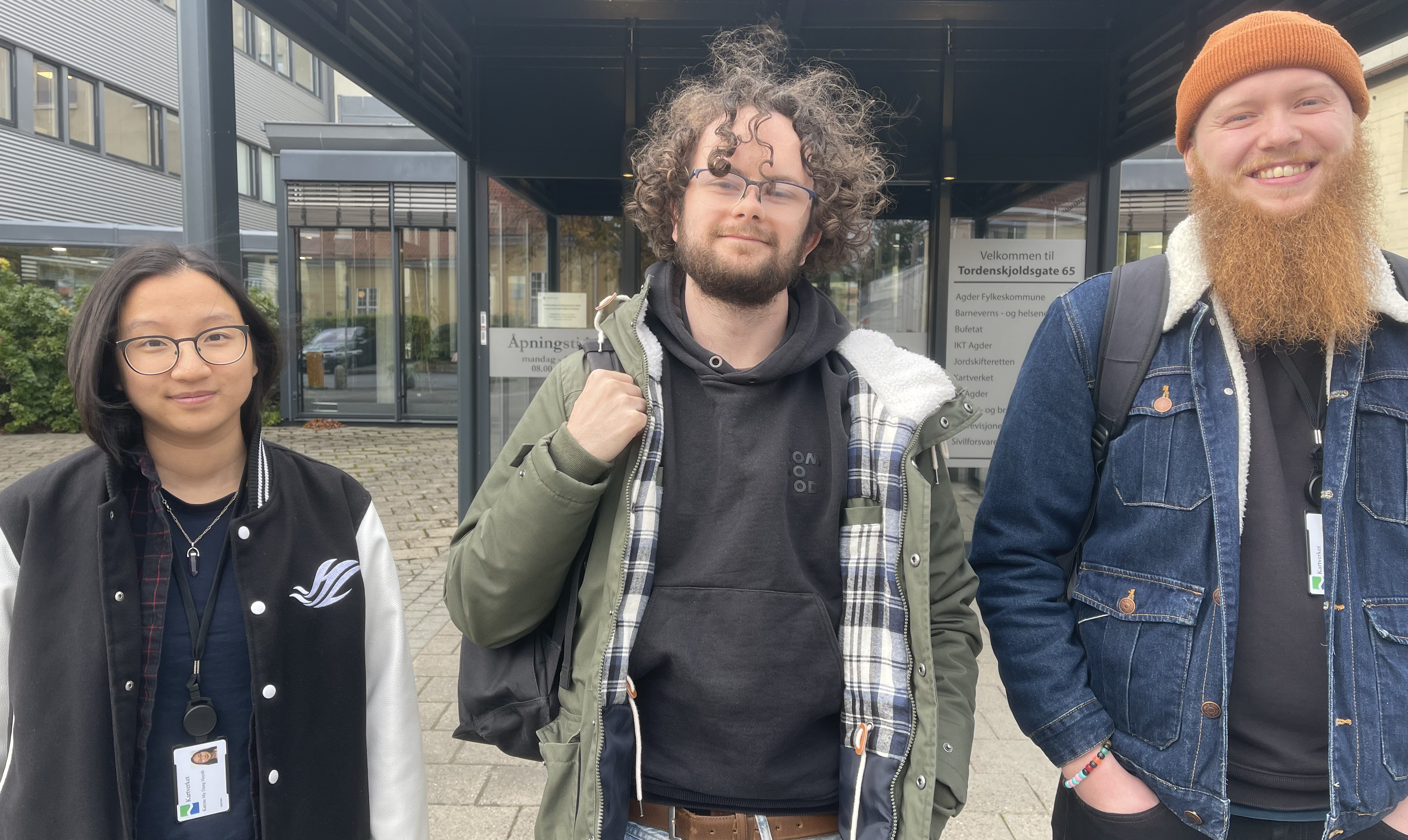 Figure 1: Internship team at Kartverket
Status 1 -> 2 | What has happened since last time?
In status 1, the focus was on the company where we are conducting the internship, the task set we are working on, and general reflections on the work done so far in the internship period. Much has happened since then, and we still have many exciting things ahead. But before that, let's discuss specifically what we have done since last time.
In status 1, we discussed two task sets that were to be the focus for the entire internship period. The first of these two task sets was as follows:
GeoVekst Data:
| Further develop developer-friendly open GeoVekst benchmark datasets.
| Merge aerial photo segments and produce Cloud-Optimized-GeoTiff (COGs) using Python/GDAL scripts.
| Generate COPC formats of LiDAR data (LAZ) with Python.
| Structure and transform map data into formats like GeoJSON, CSV, GeoParquet using Python/GDAL, etc.
| Create comprehensive developer documentation.
| Publish on Huggingface.
We can now announce that we are in the final phase of this task set. Over the past two months, we have developed a system for processing both aerial photos, LiDAR files, and GML data. So, what are the purposes of these systems? In short, the main goal of these systems is to process and/or generate more developer-friendly data based on the datasets from the GeoVekst system.
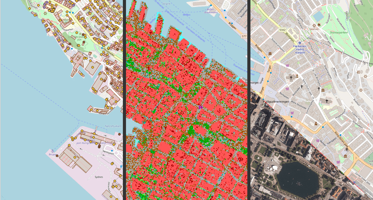
How do we achieve this? Through the system dubbed "DX_Puzzler" (DX for developer experience), we take in geomatics-based data, which is largely delivered as a series of segmented files, and piece them together into a merged file that can be more easily used in the development of systems for the KartAi project.
Tif_Puzzler: This is a system that receives a series of .tif files representing orthophotos (aerial photos) of different cities around Norway. Through the GeoVekst dataset, these orthophotos come in a highly segmented format that is not suitable for use, for example, in generating test data for an AI model. The Tif_Puzzler system combines all the orthophoto segments into a finalized stitched .tif file, which is better suited for the intended purpose.
Laz_Puzzler: Similar to the "Tif_Puzzler" system, this system takes in a series of segmented .laz files representing LiDAR data, and stitches the data together into a unified .laz file. These LiDAR data can often differentiate between ground, vegetation, roads, and buildings, which can be useful for potential training of an AI model processing map data.
GML_Processor: This system differs slightly from the other two systems. GML files (Geography Markup Language) contain a range of important geomatics-based data values, including roads, bridges, buildings, and similar elements, both in point and line data. Through this system, the GML data is converted into the file formats GEOjson and FGB, to better display, structure, and process this data. In short, these alternative formats are better suited for use in our desired purpose.
Moving forward, the work will involve refining the system before moving on to the next task set related to the "NGIS Training Machine".
Academic Gatherings, Conferences, Internship Expo, and Social Highlights:
Throughout the internship, we have been fortunate to have the opportunity to participate in various meetings and academic gatherings related to the themes of both KartAi, Kartverket, and GeoForum.
Upon request from stakeholders during the internship, we established a recurring meeting model where the internship teams at Norkart and Kartverket could share work insights and demos from the internship period. This became a regular meeting held every other week. Initially, the meeting was planned to be primarily available to the closest stakeholders in the internship work, but it quickly changed, and a range of stakeholders from Kartverket, Norkart, and Tietoevry joined the audience at each meeting. This has created a good platform for both showcasing our work and receiving feedback during the internship.
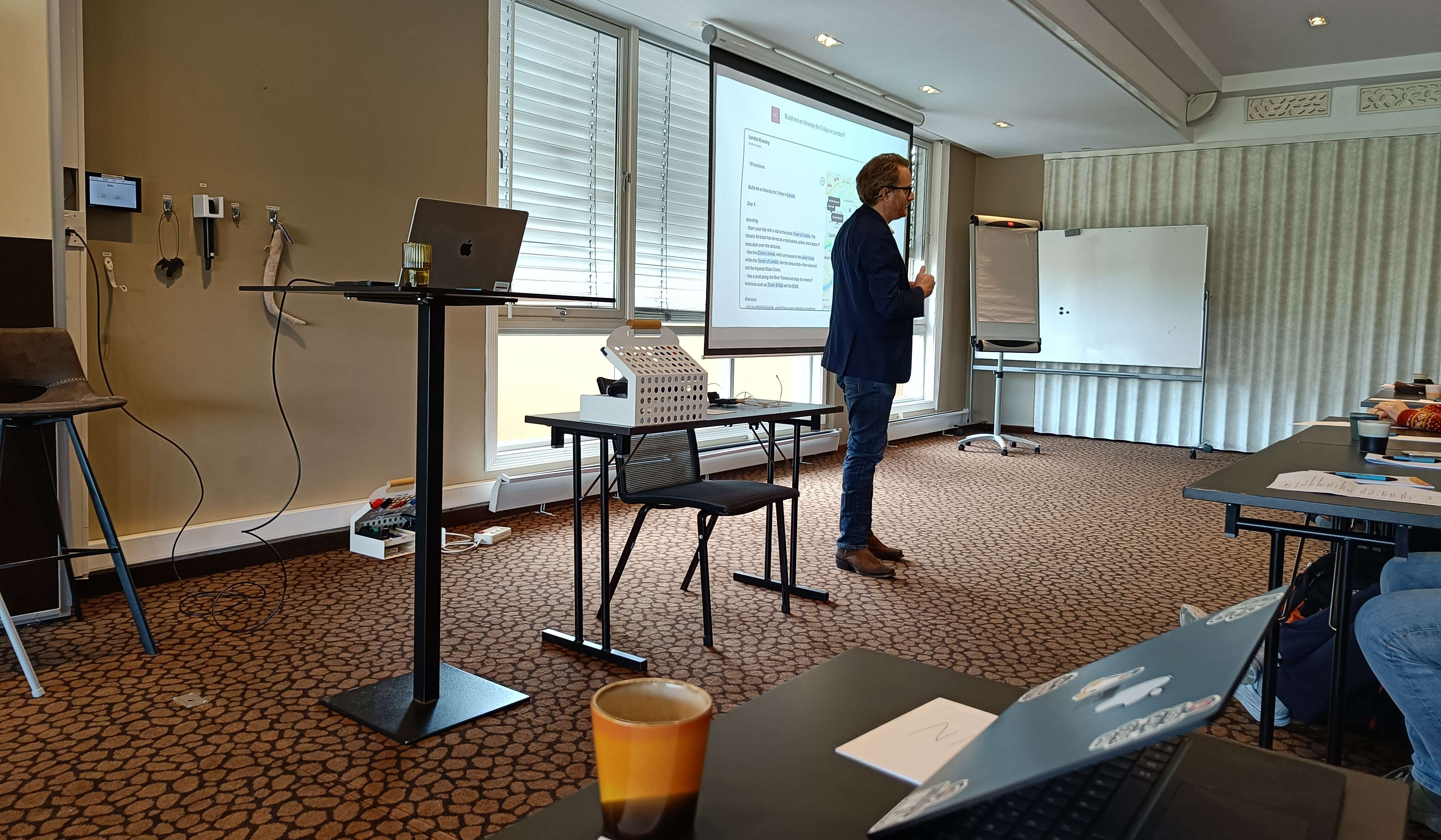 Figure 2: Picture from GeoForum
In week 39, we participated in the academic gathering, GeoForum, at Dyreparken Hotel. Here, we heard about exciting projects and products related to geomatics interests in Southern Norway. Speakers like Morten Goodwin, the company Rambøll, and various representatives from different municipalities provided valuable insights and made for an informative day during the internship.
In week 43, we have been invited to participate as speakers at the FOSS4G conference in Trondheim, where we will talk about our work during the internship period. This is a fantastic opportunity that we greatly appreciate and are looking forward to.
We have also been fortunate to take part in various social activities at Kartverket this autumn. Everything from ice cream testing, spring roll day, to bowling has been on the agenda.
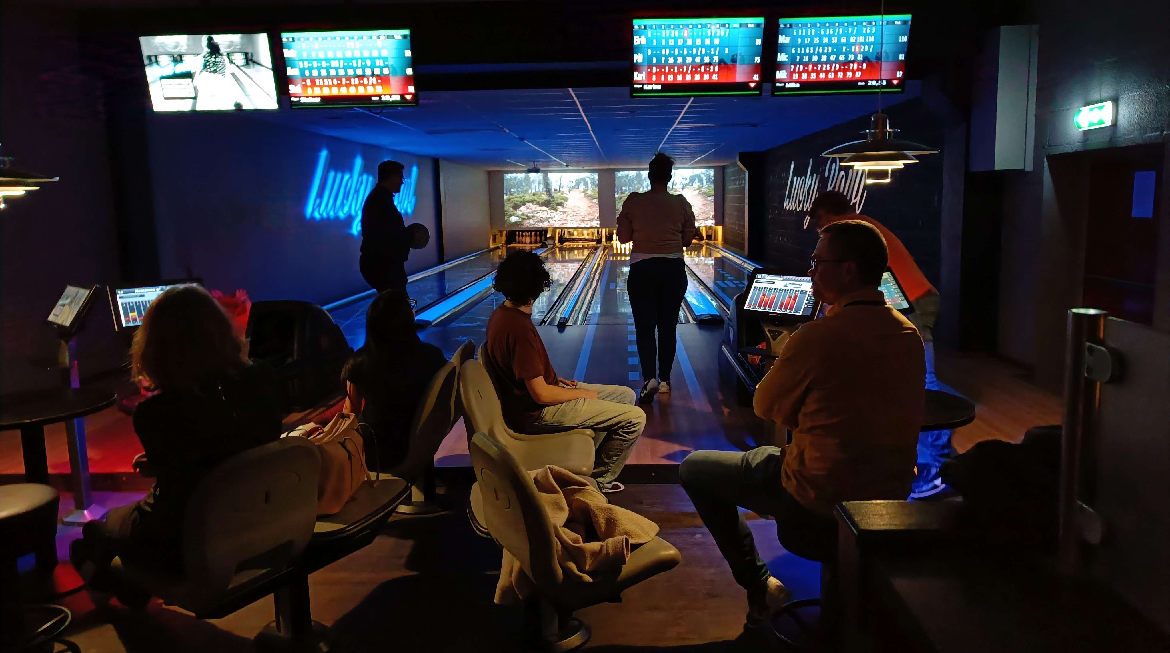 Figure 3: Picture from bowling activity
Reflection, Challenges, and Final Sprint:
So far during the internship period, we have been introduced to a range of new technologies, systems, and technical terms that will be actively used throughout the entire period. Understanding these new elements requires a solid theoretical foundation, which we achieve through studying documentation, conversations and presentations with colleagues and staff, and most importantly, through practical trial and error. We have gained a deeper insight into geomatics and, notably, learned more about programming in Python during the internship. We initially thought that a lack of knowledge in geomatics could be a significant challenge at some point, but to this day, it has gone well, and we have learned a lot.
The internship at Kartverket so far has provided a nice and inclusive work environment, which has positively contributed to our work. Our internship group gets along well, which has led to a steady workflow and distribution of tasks, and most importantly, pleasant workdays throughout the autumn semester.
We still have a few weeks left before the internship concludes, and we look forward to the further work and the learning that comes with it.
 IM
IM